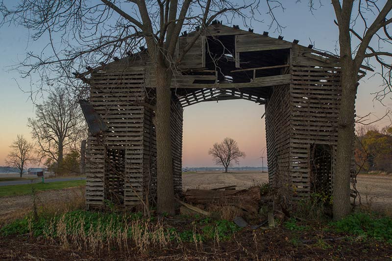
What’s the point?
Very simply, a GeoCenter is an invitation to explore the geography between the spaces you have lived. Once you find it, you can try to explore it online or in person. Either way, the result is a better understanding of the places we don’t go when we consider travel. The project aims to jettison the normal infrastructure in travel that contains our thoughts and ideas of where we might go. Whether your GeoCenter is exotic or mundane, it offers an alternative journey to the ones that are marketed to us, and the ones that we are railroaded into by existing infrastructure.
How precise do I need to be?
The calculator accepts counties, cities and addresses for its calculations. Obviously, if you put in a city or county, it uses an arbitrary county or city center for its calculations. Precision is your choice when making these calculations. Older participants will have less variability based on lack of precision, whereas for younger people it will be more important.
Should I include places that I went on vacation? Sabbatical? Places where I did seasonal work?
Here too, age is a factor. Older participants will have less movement in their GeoCenter from outlying data. For example, a six year old who spends 4 years in Salina, KS, 2 years in Posen, MI has a GeoCenter in South Central Iowa. If that six year old lives in Honolulu Hawaii for 1 month, her GeoCenter moves to the Nebraska border. A sixty-year old, who spends the forty years in Salina and twenty years in Posen, barely moves at all.
The point is, as with the addresses, the precision is of the participants choosing. If you do not like your GeoCenter, feel free to try again, using more precise times, addresses and data. In the end, the GeoCenter is a highly personal mode of geographic exploration, and while it has some roots in geography, it follows a less strict science.
Who's responsible for this?
MyGeoCenter is a collaboration between:
Josh Biggs:
Josh Biggs is a Flagstaff, Arizona-based photographer and documentarian. He teaches at Prescott College and works as a freelance photographer and videographer in Northern Arizona.
Benjamin Kirkby:
Ben is currently an Assistant Professor of Graphic Design and Interactive Media at the University of Wisconsin - Stout, where he teaches students how to build things like this project. For his part, Ben designed and developed this website - please feel free to drop him a meesage if you find anything wrong with it.
X